News Summary
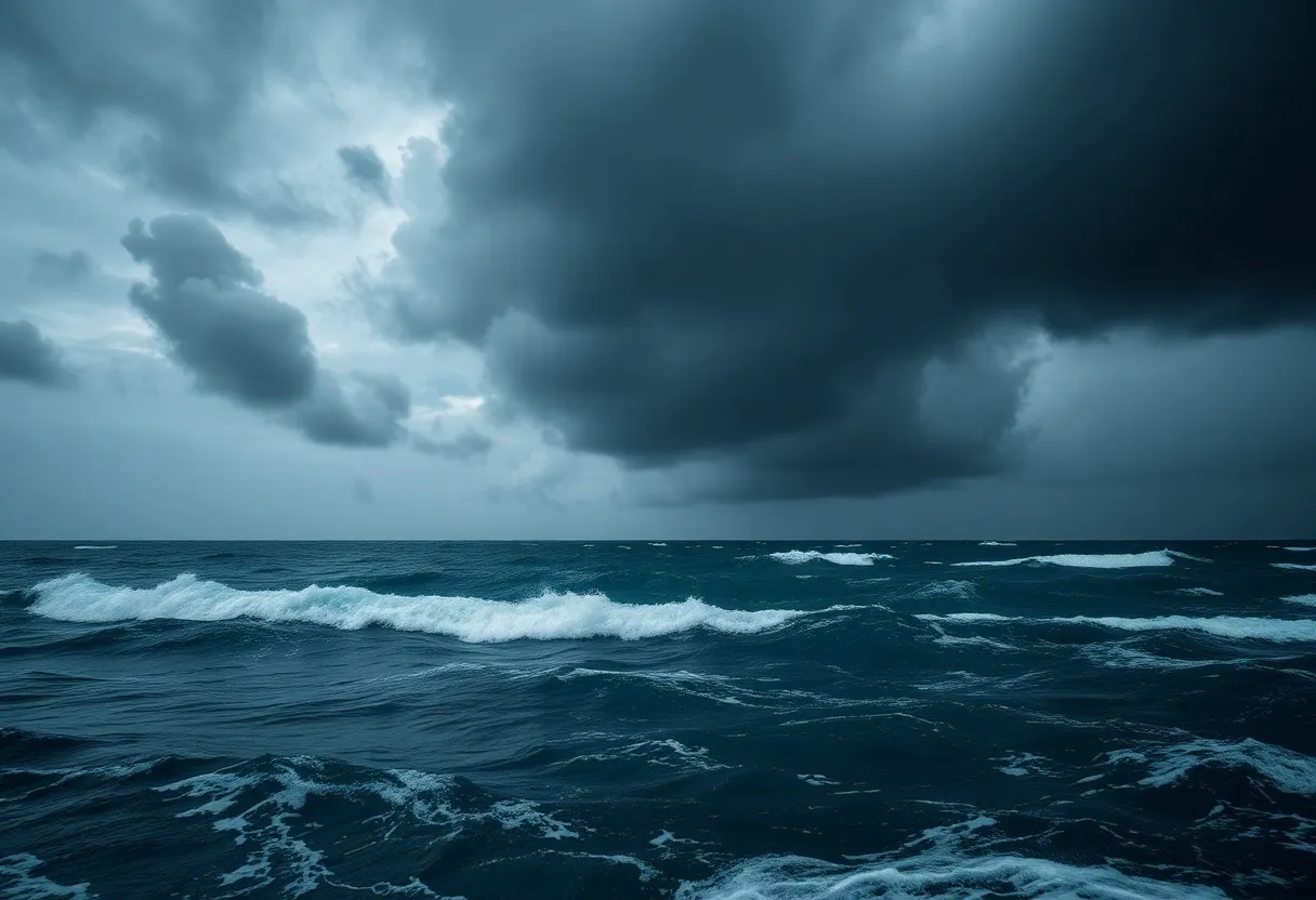
Hurricane Erin has intensified into a Category 4 storm with winds reaching 130 mph. Currently east of the Bahamas, it poses risks of life-threatening surf and rip currents along the U.S. East Coast. Areas like Puerto Rico and the southeastern Bahamas are already feeling its effects, with significant rainfall and power outages reported. Local authorities in North Carolina are on high alert, issuing mandatory evacuation orders in vulnerable regions as the storm continues to threaten coastal safety.
Hurricane Erin Strengthens to Category 4: A Closer Look
Hurricane Erin has officially transformed into a Category 4 storm with maximum sustained winds reaching an impressive 130 mph (210 km/h). This powerful hurricane is currently making its way east of the Bahamas and is expected to cause life-threatening surf and rip currents along the U.S. East Coast. It’s the first hurricane of the 2025 Atlantic hurricane season, and marking an important start!
Just to keep you updated, Hurricane Erin briefly hit a Category 5 status last Saturday before it lost some power and then decided to gain it back. As of today, Monday at 8 PM local time, Erin has been packing those 130 mph winds as it glides by the southeastern Bahamas.
The Impact on Nearby Islands
Unfortunately, the areas like the southeastern Bahamas and the Turks and Caicos Islands are already feeling the effects of Erin. A tropical storm warning is in effect for these regions. It is forecasted that residents could see rainfall up to six inches (15.2 cm). The authorities in the Turks and Caicos have taken precautionary measures by suspending public services and advising vulnerable residents to prepare for evacuation.
If we turn to Puerto Rico, the storm has already unleashed heavy rains, which led to over 150,000 power outages due to wind damage to electricity lines. Thankfully, by Sunday evening, around 95% of those affected had their power back on thanks to Luma Energy.
What’s Next for Hurricane Erin?
According to the National Hurricane Center (NHC), Erin is set to remain a large and dangerous hurricane, but it does not appear that it will make landfall on the U.S. coast. The forecast suggests it will pass east of the Bahamas and then move between Bermuda and the East Coast of the U.S. by midweek.
The Outer Banks of North Carolina are taking this storm seriously, preparing for extremely heavy surf and high winds. Venturing into mandatory evacuations in some vulnerable areas like Hatteras Island shows just how serious the local authorities are taking this situation.
Be Aware of Dangerous Conditions
Forecasts indicate the potential for dangerous rip tides along the entire U.S. East Coast. Two counties in North Carolina have already declared states of emergency, issuing mandatory evacuation orders to prepare for possible flooding and storm surge.
Those who are near the coast should brace for substantial beach erosion along with coastal flooding due to high waves ranging from 10 to 15 feet. High Surf advisories and Coastal Flood Watches are already in effect across parts of the Outer Banks where significant flooding could occur.
Stay Prepared!
Although Hurricane Erin is still distant from the U.S. coast, it brings serious risks with rough surf and rip currents expected to last throughout the week. Hurricane Erin has shown its might with fluctuating intensity, and hurricane-force winds extending about 50 miles from the storm’s center.
So, to everyone in the affected zones, make sure to stay updated and prepare for the impacts ahead, as tropical storm warnings remain active.
FAQ
What is the current status of Hurricane Erin?
Hurricane Erin is currently a Category 4 storm with maximum sustained winds of 130 mph and is east of the Bahamas.
Will Hurricane Erin make landfall on the U.S. coast?
Currently, the National Hurricane Center indicates that Erin is not expected to make landfall on the U.S. coast but could bring dangerous surf and rip currents.
What areas are under evacuation orders?
Mandatory evacuation orders have been issued in vulnerable areas, particularly in parts of the Outer Banks in North Carolina.
Key Features of Hurricane Erin
- Category: 4
- Maximum Sustained Winds: 130 mph
- Impact on Islands: Rainfall up to 6 inches in some areas
- Power Outages: 150,000+ in Puerto Rico
- Evacuations: Mandatory in parts of North Carolina
- Expected Wave Height: 10-15 feet
Deeper Dive: News & Info About This Topic
- USA Today: Hurricane Erin Updates
- BBC News: Hurricane Erin Update
- Reuters: Hurricane Erin Could Bring Dangerous Seas
- Wikipedia: Hurricane 2025
- Encyclopedia Britannica: Hurricane

Author: STAFF HERE AUGUSTA WRITER
The AUGUSTA STAFF WRITER represents the experienced team at HEREAugusta.com, your go-to source for actionable local news and information in Augusta, Richmond County, and beyond. Specializing in "news you can use," we cover essential topics like product reviews for personal and business needs, local business directories, politics, real estate trends, neighborhood insights, and state news affecting the area—with deep expertise drawn from years of dedicated reporting and strong community input, including local press releases and business updates. We deliver top reporting on high-value events such as Arts in the Heart Festival, Westobou Festival, and Masters Week. Our coverage extends to key organizations like the Augusta Metro Chamber of Commerce and Greater Augusta Arts Council, plus leading businesses in manufacturing and healthcare that power the local economy such as Textron Specialized Vehicles, Cardinal Health, and Nutrien. As part of the broader HERE network, including HEREAtlanta.com and HERESavannah.com, we provide comprehensive, credible insights into Georgia's dynamic landscape.


