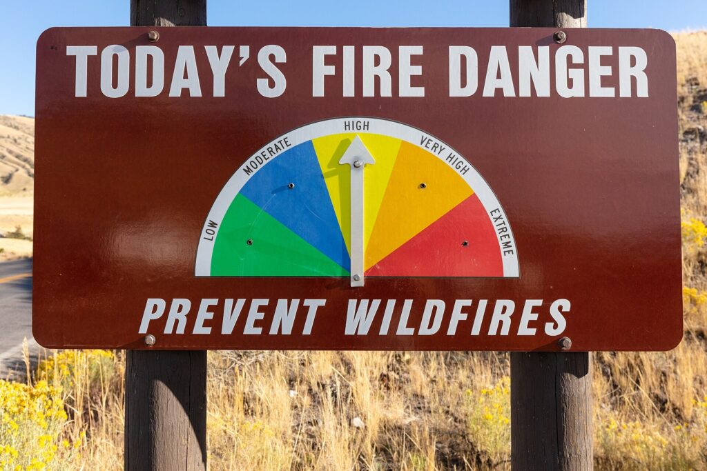
ATLANTA, Ga. — Most of north and central Georgia is under elevated fire danger this afternoon and evening, as very dry air settles over vegetation that is already parched, according to forecasters with the National Weather Service.
The Peachtree City forecast office issued a special weather statement covering a wide swath of the state, from Murray, Fannin and Towns counties in the mountains south through metro Atlanta to Muscogee, Bibb, Houston, Laurens and Toombs counties. Relative humidity is expected to stay under 30% for four hours or more starting this afternoon, with north to northeast winds of 3 to 8 mph and gusts near 15 mph in central Georgia.
Northeast Georgia is in the same situation. The Greenville-Spartanburg office flagged increased fire danger from noon until 7 p.m. for Rabun, Habersham, Stephens, Franklin, Hart and Elbert counties, where humidity could drop below 25% for much of the afternoon. In those conditions, any outdoor fire can spread quickly once it starts.
No rain is in sight. A stubborn area of high pressure is expected to keep the state dry through the week, with afternoon humidity between 20% and 30% south of Interstate 85 and 25% to 35% north of it today. Humidity creeps up a bit Wednesday, to around 30% to 40% across most of the region, and the extended forecast calls for sunny days with highs in the 70s into early next week.
Forecasters are asking anyone planning to burn yard debris to check first with their local burn permitting authority, and to use extreme caution if they do burn, since a small fire can get out of hand fast in this kind of weather.
Section: More Augusta GA crime news
Filed under: Augusta GA Public Safety News